Probable Water Stains on Mars
Dust or Liquid Stains?
Analysis and Theories.

What started out as just a collection of stain images has turned into quite an investigative project. My work caught the attention of Richard Hoagland who had earlier noticed these stains. I have accumulated quite a collection of these images through an assiduous program of going through each MOC image folder, image by image.
The mapping has shown two things of interest:
1) The stains are located close to the equator and
2) There are two major clusters of stain images.
The first instance probably means that stains are water related and are affected by the warmer temperatures along the equator. There is also the theory that the stains are subsurface aquifers which melt out with a mixture of an as yet unknown dark substance, the water may then sublimate or freeze leaving behind a dark residue or 'stain'. A more exotic explanation may be that the darker material is some kind of anaerobic fungi, which alights on the material while it is still wet and before it sublimates. Others have suggested a liquid hydrocarbon. When NASA gave a press release indicating hematite on Mars, I thought that that may be it's composition. The finding of organic magnetite also raises questions as to that being a possible constituent.
Secondly, the grouping of stain images is very intriguing, clustered almost 180 degrees apart. Though there are only a little over 100 stain images, these were collected randomly throughout the MOC image folders and were mixed in among thousands of other images, so the statistical sampling if it shows any relationships, is significant. What causes this grouping may be more significant than it's composition (especially since I feel water on Mars is a given).
I plotted out random non-stain images (green dots) that fall within this equatorial zone to see if they fell in the same clusters as the red dots, but they fall in between the two major red areas. There are many many non-stain images that fall above 40 degrees north and 40 degrees south, I'm just plotting the equatorial zones as a comparison.
The theories so far for this clustering is still open, but here are a few: This is a consequence of a seasonal warming and cooling, the remnants of a gigantic cometary impact (hence the water seepage), or an underground water system or tunnel, it's termini at the cluster sites.
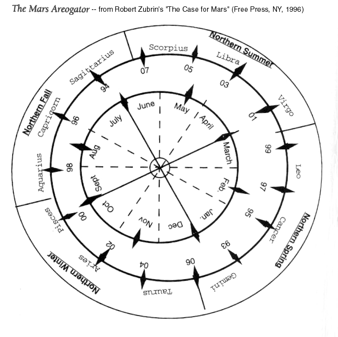
There is still much study to be done. Mr. Hoagland suggested that I try and correlate the mapping dates with the seasons of Mars, I am presently working on this (with the help of one my correspondents, Jill E.). As well I am getting elevation data for the stains using the MOLA mapping.
Plans:
More data gathering is needed before any firm conclusions can be made. These maps and extrapolations are fairly rough but close enough to give a general idea. However I do see a trend in this information and a string is begging to be pulled. My purpose here is to get more attention into this phenomenon. NASA with it's much vaster resources and data at hand can easily verify what I am doing and which I am just scratching the surface of.
I don't want to make any wild assumptions, but some of these correlation's are easy enough to see and require further study.
Efrain Palermo
.